1946 Huntington Planning Map

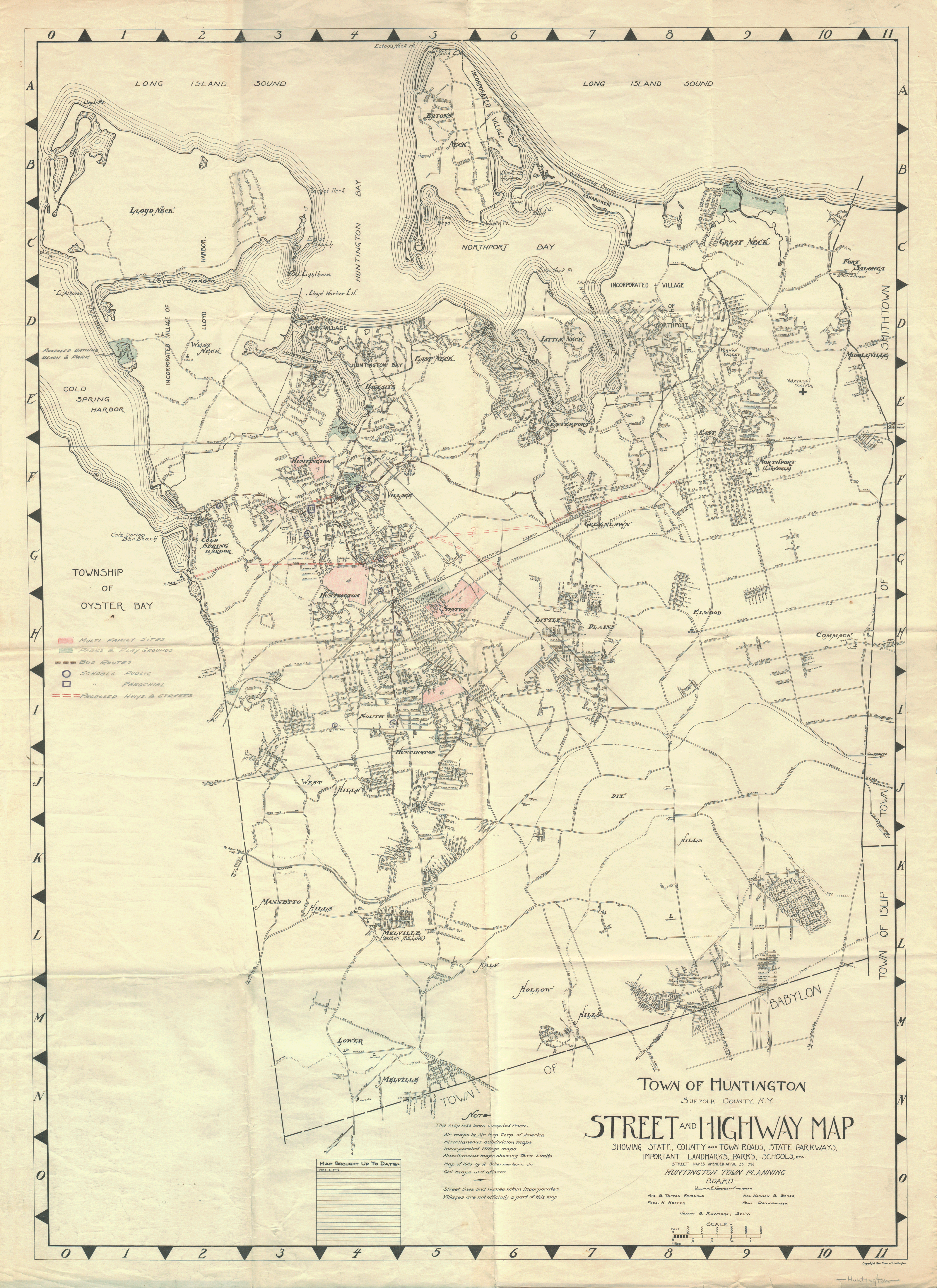
Former Long Island resident Mike Sussman has a web page devoted to a 1946 planning map of the Town of Huntington. In the excerpt of the map above, you can see the Northern State Parkway terminating near Melville (known long ago as Sweet Hollow). Mike has lots more info on his website:
Mike Sussman: 1946 Huntington Town Planning Map
Direct link to the hi-res file on wikimedia commons
Labels: Maps, Transportation
posted by scott at
Thursday, December 11, 2008
![]()


0 Comments:
Post a Comment
Subscribe to Post Comments [Atom]
<< Home